Adventure Cruising in the Pacific Northwest
|

|
|
Most of these photos were collected over a period of 12 years cruising the Pacific Northwest waters
between Olympia and the Broughton Archipelago. Places change and not all destinations
shown may still exist or still be open to the public. The cruising distances calculated
by the author were by a route selected by the author and may not be the exact route selected
by others. These routes, however, represent what the author considers the most likely route.
Distance traveled by other boaters could vary. This is not intended to be a guide for cruising,
but only a view of what can be seen in these waters.
The locations of the various destinations in latitude and longitude and the calculation of
travel distances were determined from NOAA and Canadian Hydrographic Service digital charts
in BSB format using Fugawi Marine ENC™ navigation software.
Carl & Gloria Tenning
|
|
|
|
Our Cruise Photos
Click on Icons Below
|
|
|

On a Summers Cruise
|

Cruising the Broughton's
|

Cruising Desolation Sound
|

Cruising Strait of Georgia
|

Cruising Vancouver Island, South
|

Cruising the B.C. Gulf Islands
|

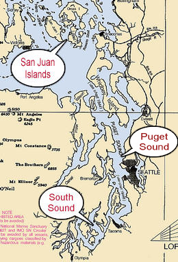
Cruising the San Juan Islands
|

Cruising Puget Sound
|

Cruising South Sound
|
|
|